
- Your cart is empty
- Continue Shopping
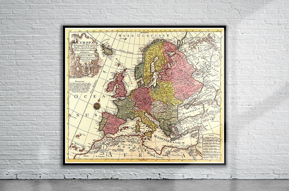
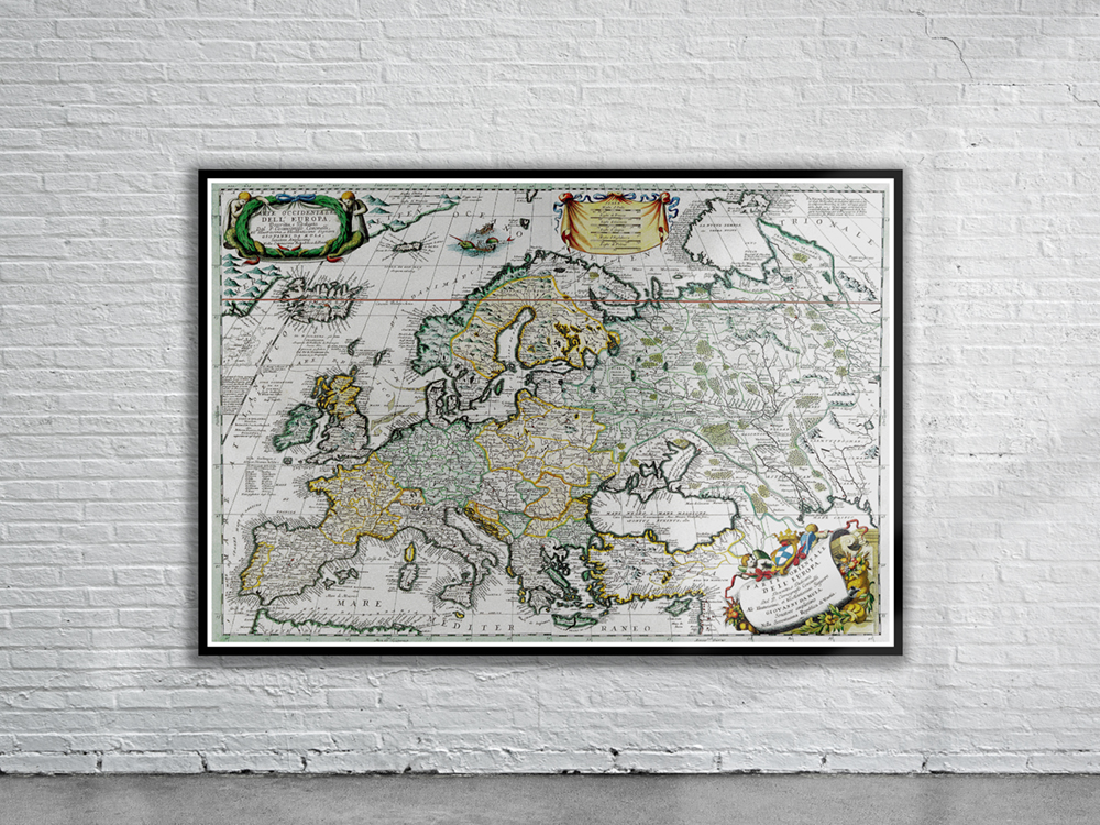
Vintage Map of Europe 1760
44% off
A decorative and very detailed map of Europe, published by Conrad Tobias Lotter in 1760. It is further enriched by a figurative cartouche, a compassrose and a milescale. Stunning Full Colour Reproduction using the Most Advanced Technology Available Printed on Museum Matte Archival Paper 310gm Unique Conversation Piece for your Home or Business Frame not included
Related products
37% off
Vintage Map of Crete 1595
$ 60.08
69% off
37% off
37% off
Vintage Map of Europe 1760
$ 60.08
87% off
Vintage Map of Crete 1584
$ 60.08
50% off
Vintage Map of Europe 1658
$ 60.08
55% off
Vintage Map of Denmark 1570
$ 60.08
67% off